Bestand:The position is entered in the nautical chart.png
Naar navigatie springen
Naar zoeken springen


Geen hogere resolutie beschikbaar.
The_position_is_entered_in_the_nautical_chart.png (800 × 527 pixels, bestandsgrootte: 851 kB, MIME-type: image/png)
Beschrijving
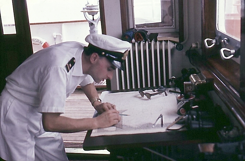
| Beschrijving |
English: After the terrestrial bearing on the compass - see background - the location is entered in the nautical chart
Deutsch: Nach der terrestrischen Peilung am Kompass - siehe Hintergrund - wird der Standort in der Seekarte eingetragen |
| Datum | |
| Bron | Rechteinhaber und eigenes Foto |
| Auteur | Buonasera |
| Toestemming (Hergebruik van dit bestand) |
eigene Dateien |
Licentie
Ik, de auteursrechthebbende van dit werk, maak het hierbij onder de volgende licentie beschikbaar:
Dit bestand is gelicenseerd onder de Creative Commons-licentie Naamsvermelding-Gelijk delen 3.0 Unported
- De gebruiker mag:
- Delen – het werk kopiëren, verspreiden en doorgeven
- Remixen – afgeleide werken maken
- Onder de volgende voorwaarden:
- naamsvermelding – U moet op een gepaste manier aan naamsvermelding doen, een link naar de licentie geven, en aangeven of er wijzigingen in het werk zijn aangebracht. U mag dit op elke redelijke manier doen, maar niet zodanig dat de indruk wordt gewekt dat de licentiegever instemt met uw werk of uw gebruik van zijn werk.
- Gelijk delen – Als u het werk heeft geremixt, veranderd, of erop heeft voortgebouwd, moet u het gewijzigde materiaal verspreiden onder dezelfde licentie als het oorspronkelijke werk, of een daarmee compatibele licentie.
Bestandsgeschiedenis
Klik op een datum/tijd om het bestand te zien zoals het destijds was.
| Datum/tijd | Miniatuur | Afmetingen | Gebruiker | Opmerking | |
|---|---|---|---|---|---|
| huidige versie | 30 dec 2011 17:47 | | 800 × 527 (851 kB) | Buonasera | {{Information |Description ={{en|1=After the terrestrial bearing on the compass - see background - the location is entered in the nautical chart}} {{de|1=Nach der terrestrischen Peilung am Kompass - siehe Hintergrund - wird der Standort in der Seekarte |
Bestandsgebruik
Dit bestand wordt op de volgende pagina gebruikt: