Bestand:North America laea relief location map.jpg
Naar navigatie springen
Naar zoeken springen


Grootte van deze voorvertoning: 597 × 599 pixels. Andere resoluties: 239 × 240 pixels | 478 × 480 pixels | 598 × 600 pixels | 765 × 768 pixels | 1.181 × 1.185 pixels.
Afbeelding in hogere resolutie (1.181 × 1.185 pixels, bestandsgrootte: 1,24 MB, MIME-type: image/jpeg)
Beschrijving
| Beschrijving |
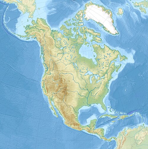
English: Relief location map of North America.
|
| Datum | |
| Bron | Eigen werk |
| Auteur | Uwe Dedering |
Licentie
Ik, de auteursrechthebbende van dit werk, maak het hierbij onder de volgende licenties beschikbaar:
Dit bestand is gelicenseerd onder de Creative Commons-licentie Naamsvermelding-Gelijk delen 3.0 Unported
- De gebruiker mag:
- Delen – het werk kopiëren, verspreiden en doorgeven
- Remixen – afgeleide werken maken
- Onder de volgende voorwaarden:
- naamsvermelding – U moet op een gepaste manier aan naamsvermelding doen, een link naar de licentie geven, en aangeven of er wijzigingen in het werk zijn aangebracht. U mag dit op elke redelijke manier doen, maar niet zodanig dat de indruk wordt gewekt dat de licentiegever instemt met uw werk of uw gebruik van zijn werk.
- Gelijk delen – Als u het materiaal remixt, transformeert of erop voortbouwt, moet u uw bijdragen verspreiden onder dezelfde licentie als die van het origineel, of een licentie die daarmee verenigbaar is.

|
Toestemming wordt verleend voor het kopiëren, verspreiden en/of wijzigen van dit document onder de voorwaarden van de GNU-licentie voor vrije documentatie, versie 1.2 of enige latere versie als gepubliceerd door de Free Software Foundation; zonder Invariant Sections, zonder Front-Cover Texts, en zonder Back-Cover Texts. Een kopie van de licentie is opgenomen in de sectie GNU-licentie voor vrije documentatie. |
U mag zelf één van de licenties kiezen.
Bestandsgeschiedenis
Klik op een datum/tijd om het bestand te zien zoals het destijds was.
| Datum/tijd | Miniatuur | Afmetingen | Gebruiker | Opmerking | |
|---|---|---|---|---|---|
| huidige versie | 28 nov 2010 15:09 | | 1.181 × 1.185 (1,24 MB) | Uwe Dedering | {{Information |Description={{en|1= Relief location map of North America. * Projection: Lambert azimuthal equal-area projection. * Area of interest: :* N: 90.0° N :* S: 5.0° N :* W: -140.0° E :* E: -60.0° E * Projection center: :* NS: 47.5° N :* WE: - |
Bestandsgebruik
Geen enkele pagina gebruikt dit bestand.