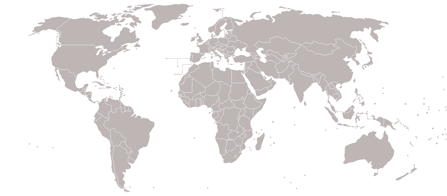
Bestand:BlankMap-World-v7.png
Afbeelding in hogere resolutie (1.425 × 625 pixels, bestandsgrootte: 37 kB, MIME-type: image/png)

|
Bestand:BlankMap-World.svg is een vectorversie van dit bestand. Deze dient gebruikt te worden in plaats van deze rasterafbeelding.
File:BlankMap-World-v7.png → File:BlankMap-World.svg
Zie Help:SVG voor meer informatie. |
 |
Beschrijving
Blank political world map, based on Image:BlankMap-World-v5.png, but including all dependencies (i.e. all territories with ISO 3166-1 codes)
For sovereign countries which are depicted by a dot, the dot is five pixels wide. For dependencies, the dot is smaller - four pixels wide.
Special thanks to Astrokey44 for his map Image:BlankMap-World-v6.png, upon which a large part of this map is also based.
This image is outdated. The territories have been updated on Image:BlankMap-World-v8.png.
Old message: Please update this map. I've created a draft version here [1], but for whatever reason can't update this file. The draft reflects territorial changes (independence of South Sudan, annexation of Crimea, etc) and other minor edits (inclusion of Hawaii, inclusion of Antarctic claims, inclusion of lakes, etc).Image:BlankMap-World-v5.png
![[1]](https://en.wikipedia.org/wiki/File:World_Map-7.png)
Licentie

|
Toestemming wordt verleend voor het kopiëren, verspreiden en/of wijzigen van dit document onder de voorwaarden van de GNU-licentie voor vrije documentatie, versie 1.2 of enige latere versie als gepubliceerd door de Free Software Foundation; zonder Invariant Sections, zonder Front-Cover Texts, en zonder Back-Cover Texts. Een kopie van de licentie is opgenomen in de sectie GNU-licentie voor vrije documentatie. |
| Dit bestand is gelicenseerd onder de Creative Commons-licentie Naamsvermelding-Gelijk delen 3.0 Unported | ||
| ||
| Deze licentietag is toegevoegd aan dit bestand in verband met de GFDL licentie-update. |
Bestandsgeschiedenis
Klik op een datum/tijd om het bestand te zien zoals het destijds was.
| Datum/tijd | Miniatuur | Afmetingen | Gebruiker | Opmerking | |
|---|---|---|---|---|---|
| huidige versie | 8 mrt 2018 01:17 | | 1.425 × 625 (37 kB) | Maphobbyist | South Sudan border |
Bestandsgebruik
Geen enkele pagina gebruikt dit bestand.