Lijst van gemeenten in Friesland
Naar navigatie springen
Naar zoeken springen
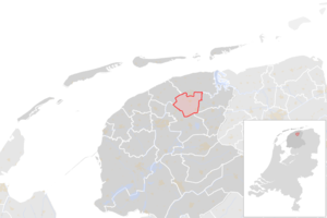
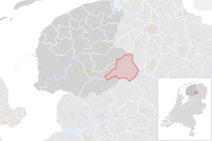
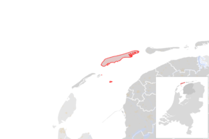
Hieronder staat een lijst met alle 24 huidige gemeenten in de Nederlandse provincie Friesland. Hierbij staan de naam, de inwoners en een plaatje met de ligging vermeld. Ook staat, zo mogelijk, de naam van de gemeente in het Fries vermeld. Deze staat er dan achter tussen haakjes. De inwonersaantallen zijn voor het laatst in 2016 nagelopen.
| # | Naam | Inwoners | Oppervlakte | Hoofdplaats | Kaart |
|---|---|---|---|---|---|
| 1 | Achtkarspelen | 27.973 | 102,40 km² | Buitenpost | 
|
| 2 | Ameland | 3.617 | 58,83 km² | Ballum | 
|
| 3 | Dantumadeel (Datumadiel) | 18.985 | 85,41 km² | Damwoude | 
|
| 4 | Dongeradeel | 23.891 | 167,21 km² | Dokkum | 
|
| 5 | Ferwerderadeel (Ferwerderadiel) | 8.707 | 97,71 km² | Ferwerd | 
|
| 6 | De Friese Meren (De Fryske Marren) | 51.297 | 361,83 km² | Joure | 
|
| 7 | Harlingen | 15.763 | 25,03 | Harlingen | 
|
| 8 | Heerenveen | 50.175 | 180,86 km² | Heerenveen | 
|
| 9 | Kollumerland en Nieuwkruisland | 12.780 | 109,75 km² | Kollum | 
|
| 10 | Leeuwarden | 108.041 | 151,70 km² | Leeuwarden | 
|
| 11 | Ooststellingwerf | 25.561 | 224,16 km² | Oosterwolde | 
|
| 12 | Opsterland | 29.806 | 224,63 km² | Beetsterzwaag | 
|
| 13 | Schiermonnikoog | 914 | 43,99 km² | Schiermonnikoog | 
|
| 14 | Smallingerland | 55.494 | 118,24 km² | Drachten | 
|
| 15 | Súdwest-Fryslân | 83.984 | 459,64 km² | Sneek | 
|
| 16 | Terschelling | 4.832 | 86,16 km² | West-Terschelling | 
|
| 17 | Tietjerksteradeel (Tytsjerksteradiel) | 31.996 | 149,44 km² | Bergum | 
|
| 18 | Vlieland | 1.072 | 36,13 km² | Oost-Vlieland | 
|
| 19 | Waadhoeke | 45.999 | ? | ? | |
| 20 | Weststellingwerf | 25.521 | 221,19 km² | Wolvega | 
|
| Gemeenten in Nederland | |||
|---|---|---|---|
| Drenthe - Flevoland - Friesland - Gelderland - Groningen - Limburg - Noord-Brabant - Noord-Holland - Overijssel - Utrecht - Zeeland - Zuid-Holland | |||
