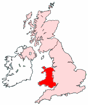
Bestand:Map of Wales within the United Kingdom.png
Naar navigatie springen
Naar zoeken springen
Geen hogere resolutie beschikbaar.
Map_of_Wales_within_the_United_Kingdom.png (290 × 346 pixels, bestandsgrootte: 35 kB, MIME-type: image/png)

|
Bestand:Map of Wales within the United Kingdom.svg is een vectorversie van dit bestand. Indien niet van slechtere kwaliteit dient deze gebruikt te worden in plaats van deze rasterafbeelding.
File:Map of Wales within the United Kingdom.png → File:Map of Wales within the United Kingdom.svg
Zie Help:SVG voor meer informatie. |
 |
.
Created by Morwen.

|
Toestemming wordt verleend voor het kopiëren, verspreiden en/of wijzigen van dit document onder de voorwaarden van de GNU-licentie voor vrije documentatie, versie 1.2 of enige latere versie als gepubliceerd door de Free Software Foundation; zonder Invariant Sections, zonder Front-Cover Texts, en zonder Back-Cover Texts. Een kopie van de licentie is opgenomen in de sectie GNU-licentie voor vrije documentatie. |
| Dit bestand is gelicenseerd onder de Creative Commons-licentie Naamsvermelding-Gelijk delen 3.0 Unported | ||
| ||
| Deze licentietag is toegevoegd aan dit bestand in verband met de GFDL licentie-update. |
Bestandsgeschiedenis
Klik op een datum/tijd om het bestand te zien zoals het destijds was.
| Datum/tijd | Miniatuur | Afmetingen | Gebruiker | Opmerking | |
|---|---|---|---|---|---|
| huidige versie | 15 aug 2005 07:21 | | 290 × 346 (35 kB) | Wighson | More detail |
Bestandsgebruik
Dit bestand wordt op de volgende pagina gebruikt: